Iran implements aeromagnetic survey in 7,000m depth for 1st time

TEHRAN - Mehdi Fakour, the director of exploration affairs at National Iranian Oil Company (NIOC), announced the implementation of an aeromagnetic survey in 7,000 meters of depth for the first time in the country, IRIB reported.
“For the first time in the country, light aircraft have been used to conduct an aeromagnetic survey to explore the country’s oil-rich regions for hydrocarbon resources in a depth of 7,000 meters,” Fakour said.
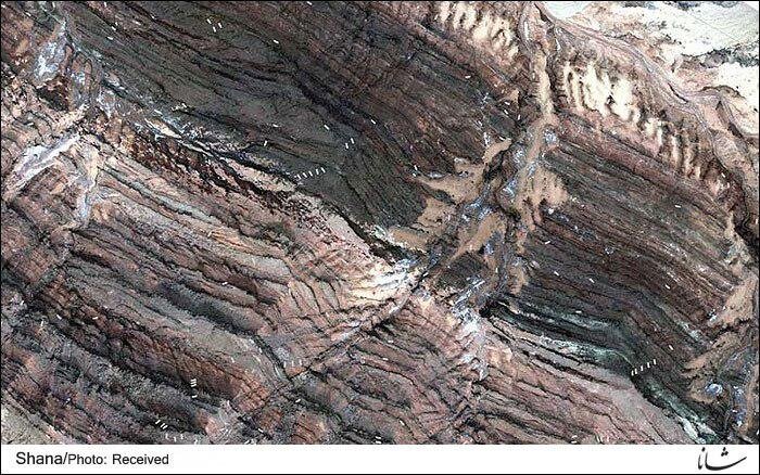
According to the official, the technology for conducting the mentioned survey has been indigenized by Iranian engineers and the survey is currently being conducted over the Zagros mountains.
“Currently, we have defined 14 exploration blocks in the country, of which 175,000 kilometers are to be surveyed using aeromagnetic survey,” he added.
Fakour noted that so far 30,000 kilometers of land have been monitored using the mentioned survey.
He announced that new hydrocarbon resources have been discovered in southwestern Iran, saying that the details about the discoveries will be released by the Oil Ministry in the near future.
An aeromagnetic survey is a common type of geophysical survey carried out using a magnetometer aboard or towed behind an aircraft. The principle is similar to a magnetic survey carried out with a hand-held magnetometer but allows much larger areas of the Earth's surface to be covered quickly for regional reconnaissance.
The aircraft typically flies in a grid-like pattern with height and line spacing determining the resolution of the data.
EF/MA
Leave a Comment