BRICS welcomes Iran’s proposal for establishing joint SDI

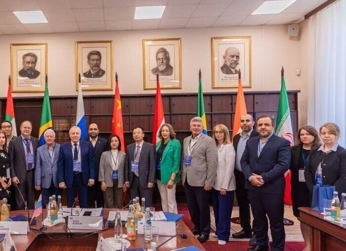
TEHRAN – All the participants in the third meeting of the BRICS working group on geospatial technologies and its application have welcomed the proposal presented by the director general of the National Cartographic Center of Iran (NCC) to establish BRICS spatial data infrastructure (SDI).
Hosted by Moscow, the meeting was held from September 16 and 17.
The third working group meeting aimed to organize a suitable platform for providing new and important opportunities to develop geospatial technologies, foster cooperation, and discuss some key issues.
Addressing the opening ceremony of the meeting, Ali Javidaneh said maps and spatial data are critical tools in the sustainable development of communities which provide the information needed for informed decision-making, effective planning, and economic growth, ISNA reported.
The official also presented several proposals, among which BRICS SDI drew the attention of the participants who agreed to lay the ground for its implementation.
Moreover, on the second day of the meeting, the memorandum of understanding previously signed by the working group on the spatial data infrastructure was finalized with the active participation of Iranian representatives.
Geospatial technology is a term used to describe the range of modern tools contributing to the geographic mapping and analysis of the Earth and human societies.
They play an important role in today's interconnected world and provide valuable assistance to individuals, governments, and various sectors of the economy.
The combination of spatial technologies with artificial intelligence, deep learning, and big data analytics creates favorable outcomes in communications, navigation, transportation, cadaster, cartography, and other applications.
Examples of geospatial technologies include remote sensing, Geographic Information Systems (GIS), and Geographic Positioning Systems (GPS). Geospatial technologies can be used for all sorts of activities, such as military use, environmental use, and everyday use.
First exhibition of spatial information
The third international Iran Geo exhibition, which is the first exhibition of spatial information in West Asia, opened in Tehran on December 23 and concluded on December 26.
The exhibition was organized with the theme of ‘geographical information underpinning sustainable development’.
Knowledge-based companies showcased their products in various fields of space affairs, remote sensing, geopolitics, geodesy, land mapping, GPS systems, metrological navigation, airplanes, and drones.
Different technical engineering equipment and services such as different sensors and mapping cameras, lasers, photogrammetric airplanes, and drones, various types of tracking systems, data processing software and hardware, location determination and location-based services, and related industries and equipment were displayed and exposed to the audience.
The exhibition aimed to improve the level of technology by expanding Iranian businesses in the field of geomatics and geoinformatics inside the country and expanding technical and engineering services export using synergy and the maximum available inter-departmental capacity.
In this exhibition, several new knowledge-based achievements, including sea-flower hydrographic equipment, physical parameters measurement of water and sea currents, various measuring instruments, technologies of space affairs and remote sensing, satellite images, and equipment related to the field of geodesy and geophysics were presented and introduced for the first time.
MT/MG
