Another mapping survey starts in archaeologically-rich Marvdasht plain

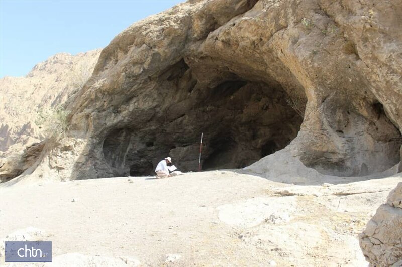
TEHRAN – The third archaeological season for demarcation, mapping, and documentation of Marvdasht plain has commenced in the archaeologically-rich area, which once the seat of power for the Achaemenid Persian Empire (c. 550 – 330 BC) in southern Iran.
“Drawing a comprehensive archeological map of Parseh region and Marvdasht plain is one of the important projects that has been followed by the archeology group of [the UNESCO-registered] Persepolis over the past couple of years with the close cooperation of the provincial department,” CHTN quoted Hamid Fadaei, director of the World Heritage site, as saying on Monday.
The survey, supervised by Iranian archaeologist Vahid Barani, will also demarcate the third boundary layer over the UNESCO-tagged Persepolis and Marvdasht plain, Fadaei noted.
Chronology of ancient settlements, and amassing data on so-far unearthed relics (potteries, stone tools,...) are amongst other missions of the survey aimed to develop a data bank of the World Heritage, the official explained.
The ancient region, known as Pars (Fars), or Persis (q.v.), was the heart of the Achaemenid Empire, which was founded by Cyrus the Great and had its capital at Pasargadae. Darius I the Great moved the capital to nearby Persepolis in the late 6th or early 5th century BC. Alexander the Great defeated the Achaemenian army at Arbela in 331 and burned Persepolis.
Persis became part of the Seleucid kingdom in 312 after Alexander’s death. The Parthian empire (247 BC– 224 CE) of the Arsacids (corresponding roughly to the modern Khorasan in Iran) replaced the rule of the Seleucids in Persis during 170–138 BC. The Sasanid Empire (224 CE–651) had its capital at Istkhr. Not until the 18th century, under the Zand dynasty (1750–79) of southern Iran, did Fars again became the heart of an empire, this time with its capital at Shiraz.
AFM/MG
