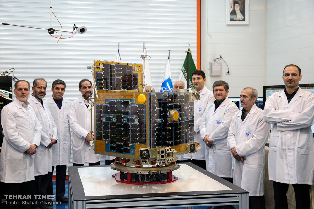
All-Iranian environmental satellite unveiled

TEHRAN – An environmental research satellite, which has been fully designed and built for the first time in the country, was unveiled on Sunday.
Manufactured by Tehran’s University of Science and Technology, the satellite, called Zafar, was delivered to the Iranian Space Agency and will be sent into orbit by summer, IRNA news agency reported.
It weighs 113 kilograms and is capable of taking color photos and survey oil reserves, mines, forests, and natural lands.
Zafar satellite can also create land use maps, urban development monitoring maps, agricultural land boundary maps, and natural land and forest change maps, as well as monitor permanent and seasonal lake changes and identify post-disaster demolition in urban areas and upgrade structural maps (fault and folding identification).
Iran launched its first satellite, called Omid (literally meaning hope), in 2009. Rasad (literally meaning observation) satellite was also sent into orbit in 2011.
In 2012, Iran successfully put its third domestically manufactured satellite, named Navid (literally meaning promise), into orbit.
FB/MG
