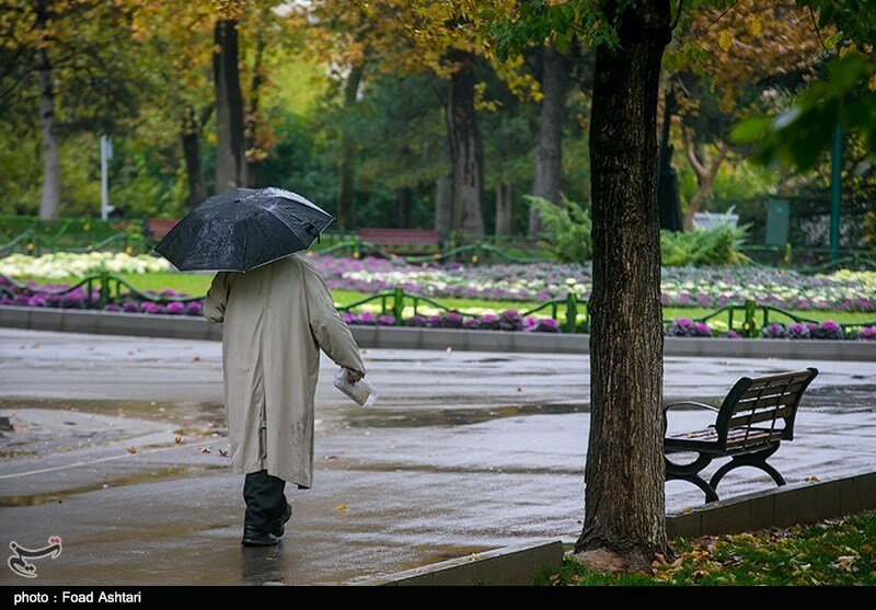
Increased precipitations predicted for next two decades in Iran

TEHRAN — It seems that over the next one to two decades the number of years with above-normal precipitations will increase, eminent meteorology professor Hossein Ardakani has said.
However, this doesn’t mean that decades-long wet spell is ahead of us, Ardakani highlighted.
Following above-normal precipitations in the country speculations have gone rife linking increased precipitations of the current year with the start of a 30-year or even a century-long wet spell. However, the claims have been scientifically rejected by meteorologists and climatologists.
Based on the latest data published on Thursday by National Drought Warning and Monitoring Center affiliated to Iran’s Meteorological Organization since the beginning of the current water year (September 23, 2018) the whole country received 294 millimeters of rain.
The number amounted to 129.9 millimeters in the previous water year and 206.4 millimeters in the long-term, the data indicated. The numbers show a drastic increase of 126.3 percent compared to last water year. It also reveals a 42.4 percent increase compared to long-term means.
Ardakani went on to explain that a wet spell is defined as a period of consecutive rainy years, and that experiencing one year of above normal precipitations followed by years of lower-than-normal precipitations does not mean a wet spell.
Receiving higher precipitations in the country depend on various factors such as teleconnection patterns, he added.
According to the U.S. climate Prediction Centre the term "teleconnection pattern" refers to a recurring and persistent, large-scale pattern of pressure and circulation anomalies that spans vast geographical areas. Teleconnection patterns are also referred to as preferred modes of low-frequency (or long time scale) variability.
Although these patterns typically last for several weeks to several months, they can sometimes be prominent for several consecutive years, thus reflecting an important part of both the interannual and interdecadal variability of the atmospheric circulation. Many of the teleconnection patterns are also planetary-scale in nature, and span entire ocean basins and continents. For example, some patterns span the entire North Pacific basin, while others extend from eastern North America to central Europe. Still others cover nearly all of Eurasia.
Teleconnection patterns reflect large-scale changes in the atmospheric wave and jet stream patterns, and influence temperature, rainfall, storm tracks, and jet stream location/ intensity over vast areas. Thus, they are often the culprit responsible for abnormal weather patterns occurring simultaneously over seemingly vast distances.
Ardakani said that over the past two decades the number of years with lower-than-normal precipitations were high and now it appears that teleconnection patterns can positively affect the number of years with increased precipitations in the next 10 to 20 years in Iran.
Commenting on devastating flooding across the country Ardakani suggested that Madden-Julian Oscillation (MJO) could have caused increased precipitations in the country.
MJO is the major fluctuation in tropical weather on weekly to monthly timescales. The MJO can be characterized as an eastward moving 'pulse' of cloud and rainfall near the equator that typically recurs every 30 to 60 days.
MJO is a traveling pattern that propagates eastward, through the atmosphere above the warm parts of the Indian and Pacific oceans. This overall circulation pattern manifests itself most clearly as anomalous rainfall.
MQ/MG
