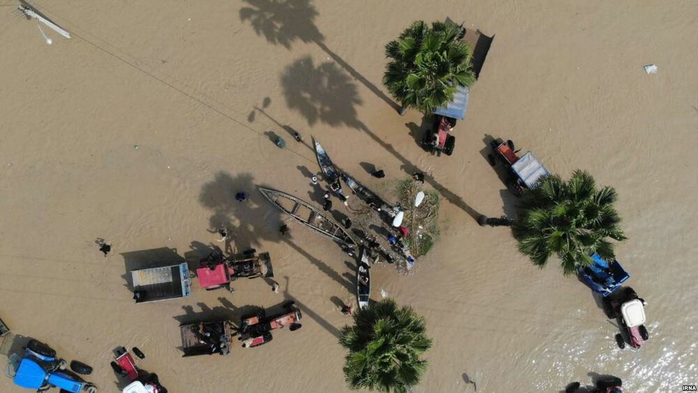
Remote sensing technology to estimate flood damage to agriculture in Golestan

TEHRAN -- Iranian Space Research Center is to perform a plan for estimating the damage caused by the recent flood to the agriculture sector in Golestan province through using remote sensing technology, Mehr reported on Tuesday.
The plan focuses on Aq-Qala and Gomishan in Golestan province which were struck by severe floods on March 22.
It aims to assess the damages to crops with sampling, the head of the center Hossein Samimi explained.
The center also provides the Poldokhtar citizens in Lorestan province with 4G network through Bam 50 internet balloon, he said.
The recent flood in Lorestan province completely washed away the telecom center station in the city of Poldokhtar.
Since the beginning of the current Iranian calendar year on March 21 provinces of Fars, Lorestan, North Khorasan, Golestan, Mazandaran, Hamedan, Khuzestan, Kermanshah, Semnan, Kohgiluyeh and Boyer-Ahmad and Khorasan Razavi were hit hard by devastating floods incurring a dramatic loss.
SB/MQ/MG
