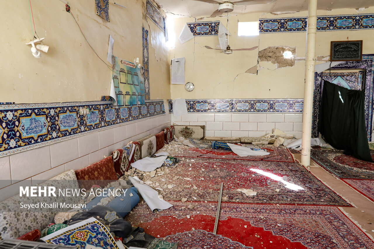
A preliminary overview of M5.6 quake in Masjed Soleyman

TEHRAN - A M5.6 Earthquake on 5 December 2024, at 7:32 a.m. local time occurred in Golgir village, 20km southeast of Masjed Soleyman (Figure-1) with two important aftershocks during the first two hours after the mainshock at 7:53 a.m. (M5.0) and at 9:08 a.m. (M5.2).
The mentioned earthquakes occurred in the same place where on 8 July 2019, an earthquake of M5.7 killed one person and injured more than 100 people.

Figure-1
The mechanism of the earthquake on 5 December 2024 (as reported by IPGP) was in the form of a near-vertical compressional fault with a northwest-southeast strike and an estimated depth of 25 km, when the east/northeast side of the fault moved upwards (compared to the west/southwest side of the fault ).
It seems that similar to the 8 July 2019 earthquake, the causative fault zone is the Ramhormoz fault for 5 December 2024 (Figures 2 and 3).
The M5.7 earthquake of 8 July 2019 in Golgir village of Khuzestan at 20km southeast of Masjed Soleyman caused partial destruction of houses in 10 villages and 8 houses and one death and 112 injuries.
The destruction of buildings, the collapse of the dome of the Masjed Soleyman, and the cracks in the houses' walls were partial results of the 2019 earthquake.
Golgir (in Persian: “a place to produce flowers”) had historically freshwater springs, orchards, and many trees. Its abundant rainfall and fertile soil caused an abundance of plants. The growth of all kinds of flowers was the reason why it is called “Golgir”.
In recent decades drought caused the destruction of gardens and after digging of many deep wells around the Golgir cement factory, springs have dried up.
Historically, in the early 20th century, the Anglo-Persian Oil Company constructed the Masjed Soleyman airport – close to Golgir, after the discovery of oil, in Masjed Soleyman in 1908 in Tembi-Golgir village.
According to young crustal movements, the occurrence of aftershocks in this region is apparently in the form of seismic clusters. In the 5 December 2024 earthquake sequence, similar to the model of stress release in the earthquake of 8 July 2019, aftershocks continue for several weeks to months.
In this area, there are layers of non-resistant crust in the Zagros and the pressure and stress accumulated in the faults release gradually along the fractures. Therefore, a series of earthquakes occur that is called an “earthquake swarm”.
The epicenter of the earthquake occurred 20 km south of Masjed Soleyman close to the Aghajari, Shushtar, and Ramhormoz fault zones.
Ramhormoz fault is a compressional fault in that the east/northeast side is raised on the west/southwest part. The length of Ramhormoz fault is 100 kilometers, and it is located on the southern border of Zagros folded belt (Figure-4), marking the topographic border with the Zagros foothill zone, making the structural border of the Dezful embayment.
Therefore, this fault is a part of the Khuzestan mountain to plain border that passes through the vicinity of Ramhormoz city in the southeast of Shushtar. Along the Ramhormz fault the Naftesefid Anticline is thrusted over the Quaternary sediments of Ramhormoz alluvial plain.
The dynamics of Ramhormoz fault are motivated by the basement geological structures originating from the Hormuz salt formation, which prevents the distribution of fracture as a plastic buffer. The movement along this fault zone has been significant with compressional displacement in several significant earthquakes of medium to severe magnitude, and there is a possibility of a larger rupture with a severe earthquake in the same place.

Figure-2

Figure-3

Figure-4
Leave a Comment