Iran to host intl. conference on archaeology

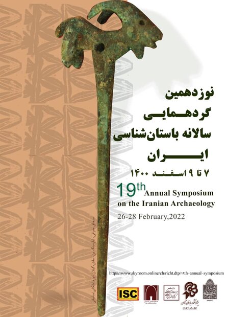
TEHRAN – Iran will be hosting an online international conference on archaeology and cultural heritage, which is scheduled to take place from February 26 to 28.
Co-organized by the Iranian Center for Archaeological Research (ICAR); Cultural Heritage, Tourism and Handicrafts Ministry; and the National Museum of Iran, the annual event will turn the spotlight on excavations being held across the country during the past couple of months.
The discovery of a majestic gateway, built upon the order of Cyrus the Great, who was the founder of the mighty Achaemenid Empire (ca. 550 – 330 BC), will be one of the themes of the conference, according to organizers. Supervised by a joint mission of Iranian and Italian archaeologists and cultural heritage experts, the dig uncovered vestiges of a massive gateway measuring 30 by 40 meters with a height of approximately 12 meters.

Moreover, the 19th Annual Symposium on the Iranian Archaeology is aimed to discuss the latest archaeological work carried out near the UNESCO-designated Tchogha Zanbil, which is widely known as the world’s best surviving example of Elamite architecture.
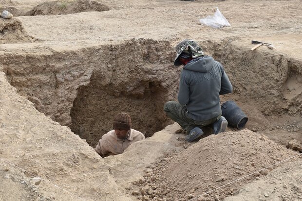
Over the past year, tens of archaeological surveys have been conducted across Iran. For instance, archaeologists discovered a gigantic prehistorical site in the southwest of the country last November.
Situated in Chaharmahal-Bakhtiari province, the site yielded evidence dating back to some 10,000 years ago. Archaeologies believe it is an important place to study the process of transition from Paleolithic to Neolithic and the process of creating the first human settlements in this part of the Zagros mountain range.
The first well-documented evidence of human habitation is in deposits from several excavated cave and rock-shelter sites, located mainly in the Zagros Mountains of western Iran and dated to Middle Paleolithic or Mousterian times (c. 100,000 BC).
From the Caspian in the northwest to Baluchistan in the southeast, the Iranian plateau extends for close to 2,000 km. It encompasses the greater part of Iran, Afghanistan, and Pakistan west of the Indus River containing some 3,700,000 square kilometers. Despite being called a “plateau”, it is far from flat but contains several mountain ranges, the highest peak being Damavand in the Alborz mountain range at 5610 m, and the Dasht-e Loot east of Kerman in Central Iran falling below 300 m.
AFM
Leave a Comment