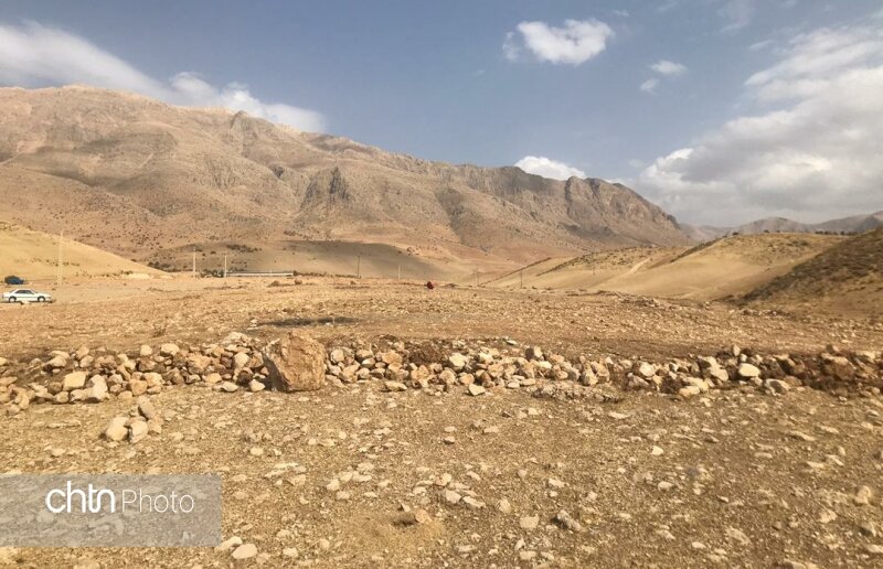
Prehistorical site discovered in southwest Iran

TEHRAN – Archaeologists have discovered a gigantic prehistorical site, which is estimated to cover some 10 ha in area, in southwest Iran.
“An important archaeological site with an area of 10 hectares has been identified near Ardal city of Chaharmahal-Bakhtiari province,” CHTN quoted archaeologist Ali-Asghar Noruzi as saying on Monday.
“The site, which has yielded evidence dating back to some 10,000 years ago, was found following various archaeological studies conducted under the supervision of the provincial directorate of Cultural Heritage, Tourism and Handicrafts.”
“This archaeological site has important archaeological values in terms of expansion in the area, which can be an important place to study the process of transition from Paleolithic to Neolithic and the process of creating the first human settlements in this part of the Zagros [mountain range],” the archaeologist explained.
Moreover, this archeological site contains credible evidence of some significant human settlements of different pre-Islamic periods, he added.
“Archaeological evidence and preliminary studies of surface artifacts indicate that an important part of this area belongs to the Late Paleolithic period, which is more than 10,000 years old, although excavations at this site may also reveal older artifacts.”
Furthermore, evidence concerning the various epochs of Neolithic, Copper, Stone, and the Bronze Age have been uncovered in the site.
“Other archaeological evidence discovered at the site include pottery from the prehistoric Neolithic, Copper and Stone periods, and the Bronze Age to the Islamic period, along with architectural evidence,” Noruzi stated.
The first well-documented evidence of human habitation is in deposits from several excavated cave and rock-shelter sites, located mainly in the Zagros Mountains of western Iran and dated to Middle Paleolithic or Mousterian times (c. 100,000 BC).
From the Caspian in the northwest to Baluchistan in the south-east, the Iranian Plateau extends for close to 2,000 km. It encompasses the greater part of Iran, Afghanistan, and Pakistan west of the Indus River containing some 3,700,000 square kilometers. Despite being called a “plateau”, it is far from flat but contains several mountain ranges, the highest peak being Damavand in the Alborz mountain range at 5610 m, and the Dasht-e Loot east of Kerman in Central Iran falling below 300 m.
AFM

Leave a Comment