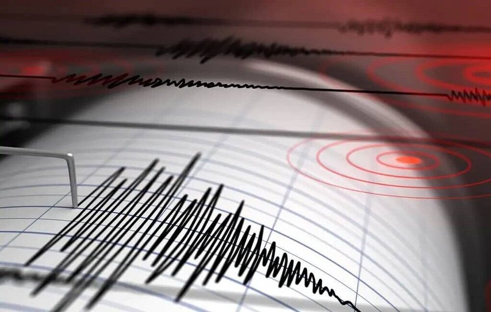
Magnitude 4 quake hits Tehran province

TEHRAN – An earthquake measuring 4.0 on the Richter scale shook Tehran province on Wednesday.
The earthquake occurred at 1:41 p.m. local time at a depth of 12 kilometers near the city of Damavand, northeast of Tehran, according to the Iranian Seismological Center.
On May 8, an earthquake measuring 5.1 on the Richter scale shook the same area, killing two and injuring 33.
The causative fault for the earthquake was Mosha fault, 5km north of the city of Damavand. It has a history of major historical earthquakes in 958 A.D. in Rey-Taleghan with an estimated earthquake magnitude (EEM) of 7.7; 15 June 1665 with EEM 6.5 that caused a landslide and created Taar lake in the vicinity of Damavand, actually a mountain promenade in Tehran province; 27 March 1830 EEM 7.1 in Shemiranat; 2 October 1930 EEM5.0 in Ah-Mobarakabad; 20 January 1990 EEM5.9 in Firouzkuh; and 9 May 2020 EEM5.1 in Damavand, according to Mehdi Zare, a professor of engineering seismology.
Tehran is one of the most hazardous metropolises in the world in terms of the risk of different natural disasters, such as earthquakes, floods, subsidence, drought, landslide, fire following an earthquake, etc. On the other hand, Tehran has over 8,300,000 night time population with a mixture of old non-resistant structures as well as modern high-rise buildings that affect the vulnerability of this city.
FB/MG
Leave a Comment