Tehran hosts BRICS meeting on geopolitical technologies

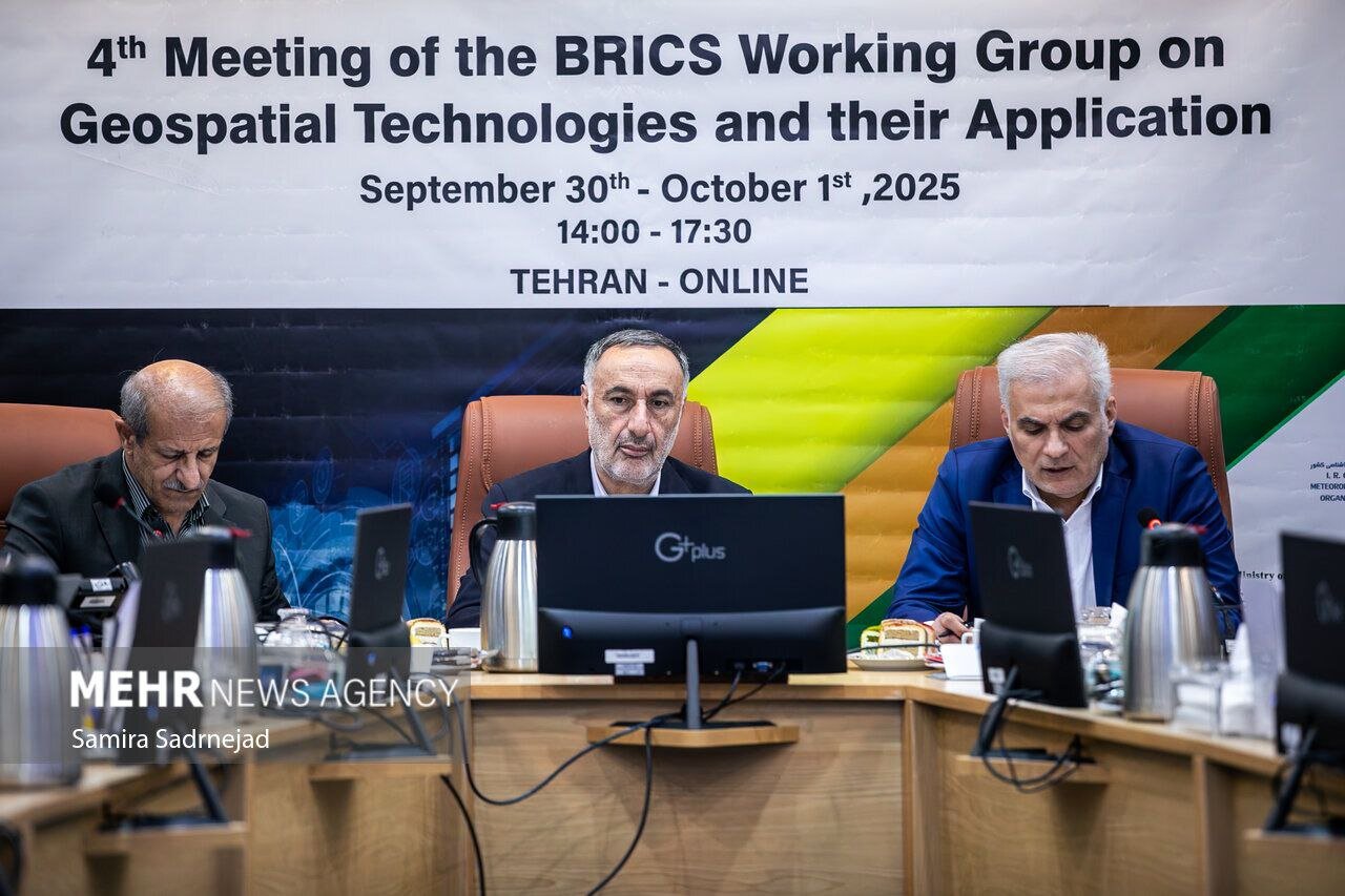
TEHRAN – Iran has played host to the fourth meeting of the BRICS working group on geospatial technologies and their applications.
The meeting was held online from September 30 to October 1, bringing together BRICS member states, including Brazil, China, Russia, India, Indonesia, Ethiopia, South Africa, and the United Arab Emirates, Mehr news agency reported.
The two-day event was organized in cooperation with scientific institutions, including Mapping Organization, Metrological Organization, Space Organization, Space Research Institute, the Geology and Mineral Exploration Organization, the University of Tehran, and Khajeh Nasir Toosi University of Technology.
The event served as a great opportunity to showcase Iran’s capabilities in modern technologies, develop scientific and technological cooperation, and share expertise with BRICS member states.
The first day focused on showcasing capacities, capabilities, and opportunities for fostering cooperation among member states.
On the second day of the meeting, participants discussed and explored avenues for the expansion of collaborations in geospatial data and its applications.
The issues raised in the meeting will be summarized and approved in the form of a multilateral cooperation document. The document will lay the basis for joint practices of the states in spatial data in the coming year. A report on the actions taken based on the document will be presented in the next meeting.
Moscow hosted the third meeting of the BRICS working group on geospatial technologies and its application from September 16 and 17, 2024.
The meeting welcomed the proposal presented by the former director general of the National Cartographic Center of Iran (NCC) to establish the BRICS spatial data infrastructure (SDI).
Addressing the opening ceremony of the meeting, Ali Javidaneh said maps and spatial data are critical tools in the sustainable development of communities, which provide the information needed for informed decision-making, effective planning, and economic growth, ISNA reported.
The official also presented several proposals, among which BRICS SDI drew the attention of the participants, who agreed to lay the ground for its implementation.
Geospatial technology is a term used to describe the range of modern tools contributing to the geographic mapping and analysis of the Earth and human societies.
They play an important role in today’s interconnected world and provide valuable assistance to individuals, governments, and various sectors of the economy.
The combination of spatial technologies with artificial intelligence, deep learning, and big data analytics creates favorable outcomes in communications, navigation, transportation, cadaster, cartography, and other applications.
Examples of geospatial technologies include remote sensing, Geographic Information Systems (GIS), and Geographic Positioning Systems (GPS). Geospatial technologies can be used for all sorts of activities, such as military use, environmental use, and everyday use.
MT/MG
